
Further to previous articles about maps and islands, An Island, Or Was It? and Atlantis? No That Would Be Silly, I spent some more time looking through maps of the 1500’s. One in particular is currently a favourite which you may be familiar with – Urbano Monte 1587. And an earlier one too, the Mappa Mundi. But in between there are others, showing places that apparently were, but no longer are. Named, routed and landmarks noted. But as far as we are told, they didn’t exist and were just bits of fiction added, or they just ‘got it wrong’, which may well be the case, we know that just because it is drawn or written, doesn’t mean it is real.
I noticed what looked to be an interesting feature on the 1587 map though, a spiral named as Vorago. Naturally I looked up the word, with its meaning being put as – An engulfing chasm : Abyss. And it seemed awfully close to where we have magnetic north showing, a strange feature which looks as though the images aren’t stitched together properly, so it appears fragmented and pixellated, like what happens when you curve something that isn’t supposed to be curved, but what do I know.
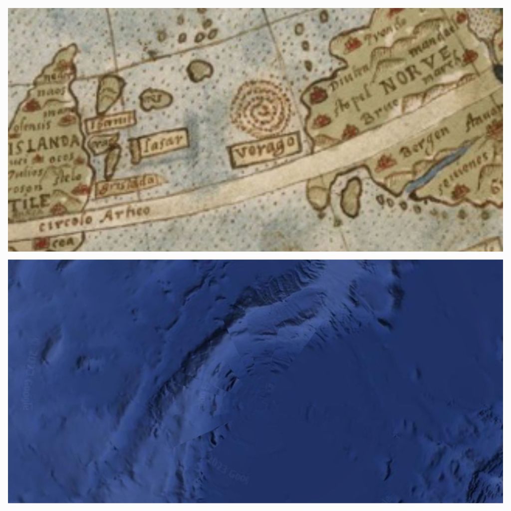
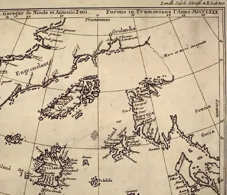
And it can be seen as a diamond formation of dots on earlier maps, this one noted as 1380 in roman numerals, seems very different from the other maps of that time, being that the mappa mundi is apparently from 1300.
And although it is speculated that most of these places noted above, are in fact modern day Iceland, Greenland, Shetlands Islands and The Orkneys – they say the others just simply don’t exist. Although, when you look at google earth today, there are shapes within the area which could have once been islands perhaps. Which leads back to a reoccurring question for me, if the water level has risen and fallen over time, to reveal land once lost, or cover land we once knew, how could that possibly happen? Could the land tilt, rise or drop? Or is it the water levels that have changed, draining every now and then and creating land bridges and bigger continents for a time, only to be covered again by a deluge from above. As the old saying goes, the waters above, and the waters below…
(c) K Wicks

4 thoughts on “Maps and Islands”